edp:map - Droniq Air Situation Interface, 5 users - Annual subscription
Preis von: BSS B2B

User License

Contract Term
Notice Period
Eifert Systems - Reliable Software for Law Enforcement and Emergency Services
For over 25 years, Eifert Systems GmbH has been developing practical software solutions that reliably support more than 600 customers in the public safety sector in managing day-to-day operations and large-scale emergencies. The edp: incident command software is available both as a traditional desktop application and as a modern, platform-independent browser-based solution. An integrated GIS system provides the central overview of the situation and serves as the basis for operational and tactical incident command.
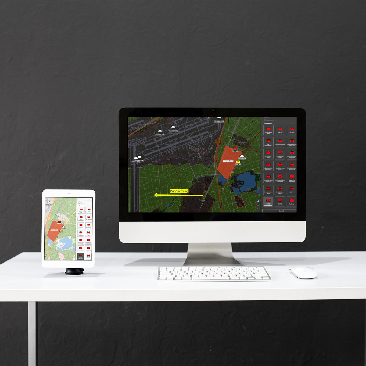
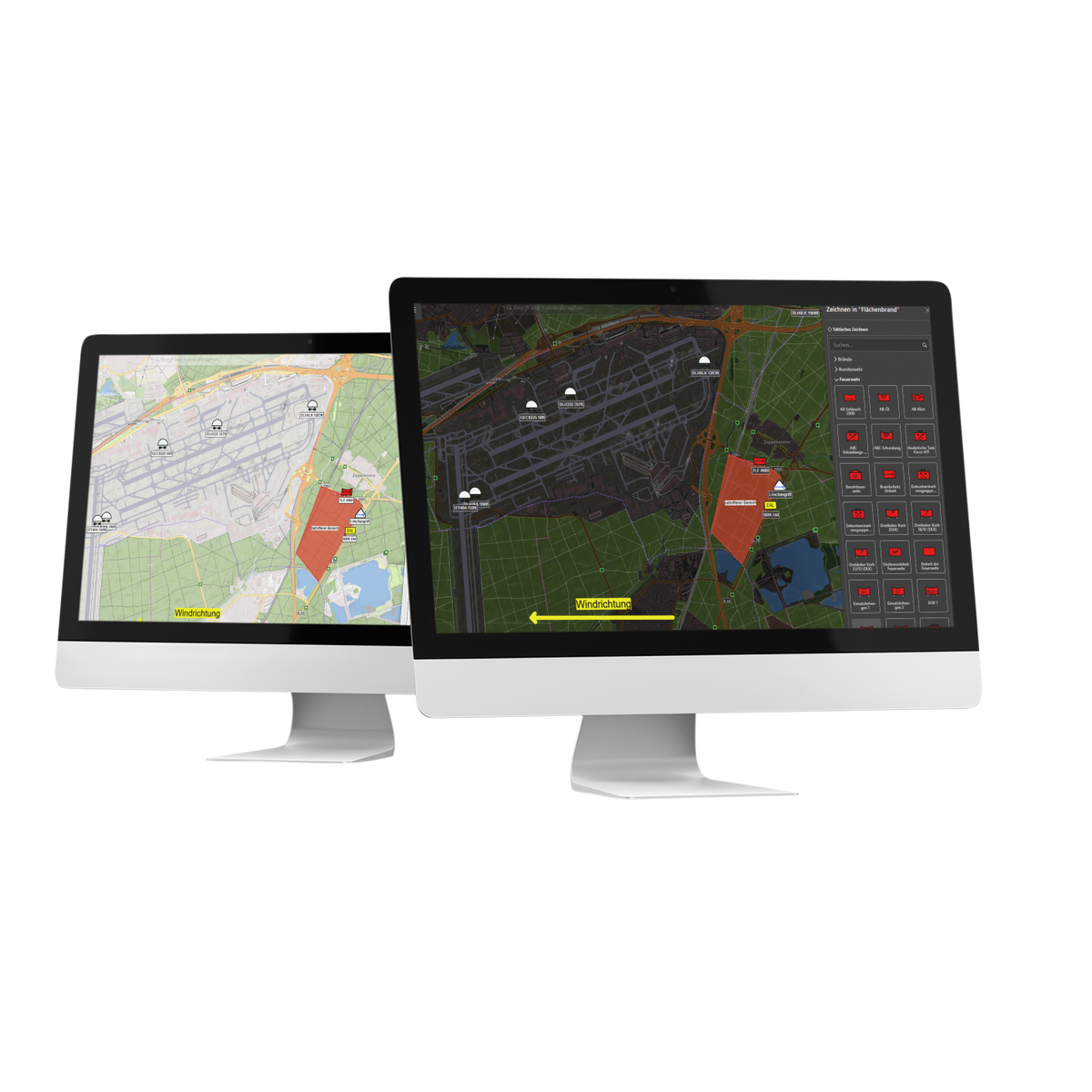
Among the approximately 50 available interfaces is the connection to Droniq. It enables the integration of the aerial situational picture directly into the edp:map GIS system, allowing incident commanders to track current air traffic in the operational area at all times. Parameters such as flight altitude can be used to specifically narrow down the displayed airspace.
In addition, position data for specific aircraft can be directly assigned to the respective assets in edp:, so that rescue helicopters or the agency’s own drones are immediately displayed on the map. This creates a unified, up-to-date situational overview that maps the entire operational area—both ground and air—and provides decision-makers with a solid basis for decision-making.