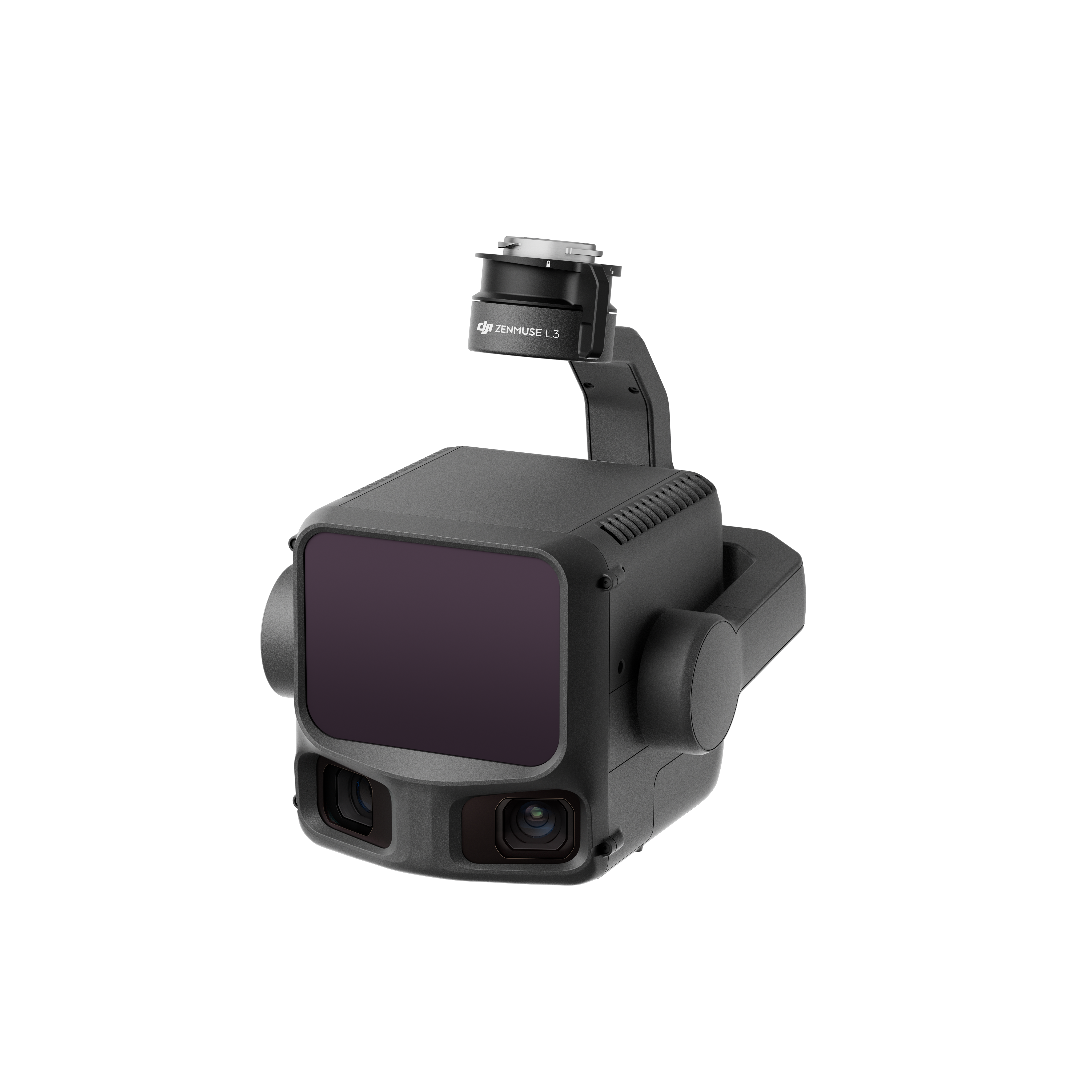
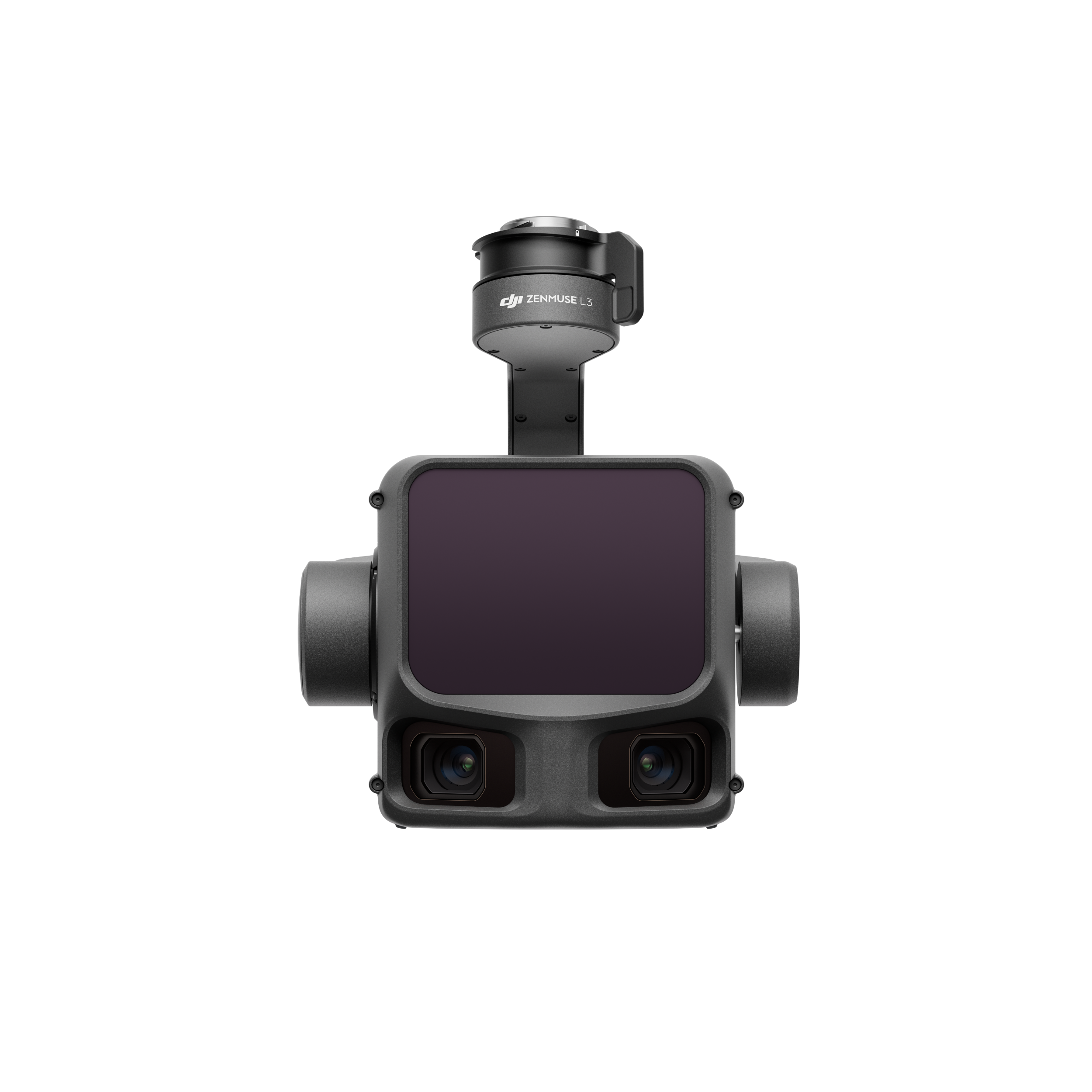
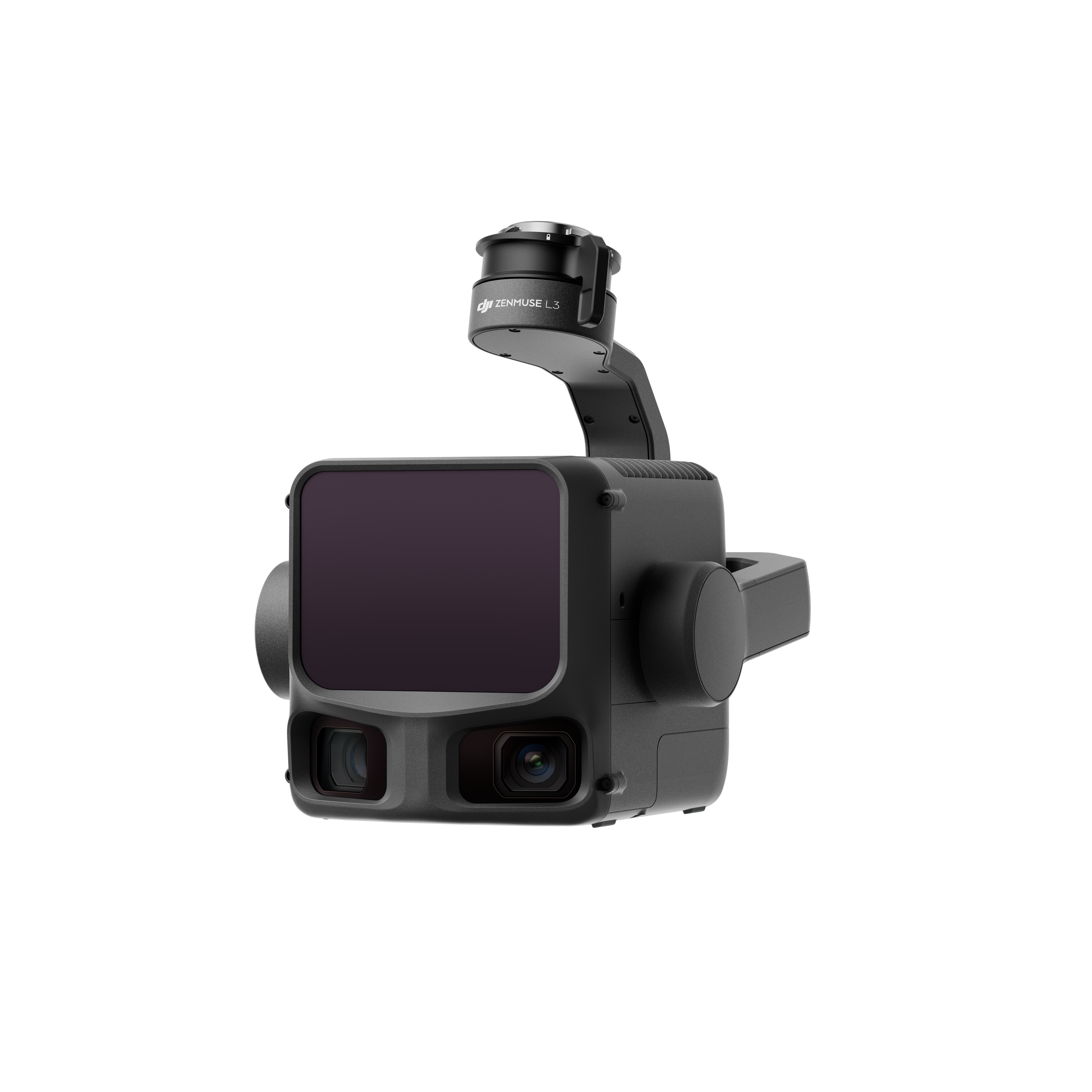
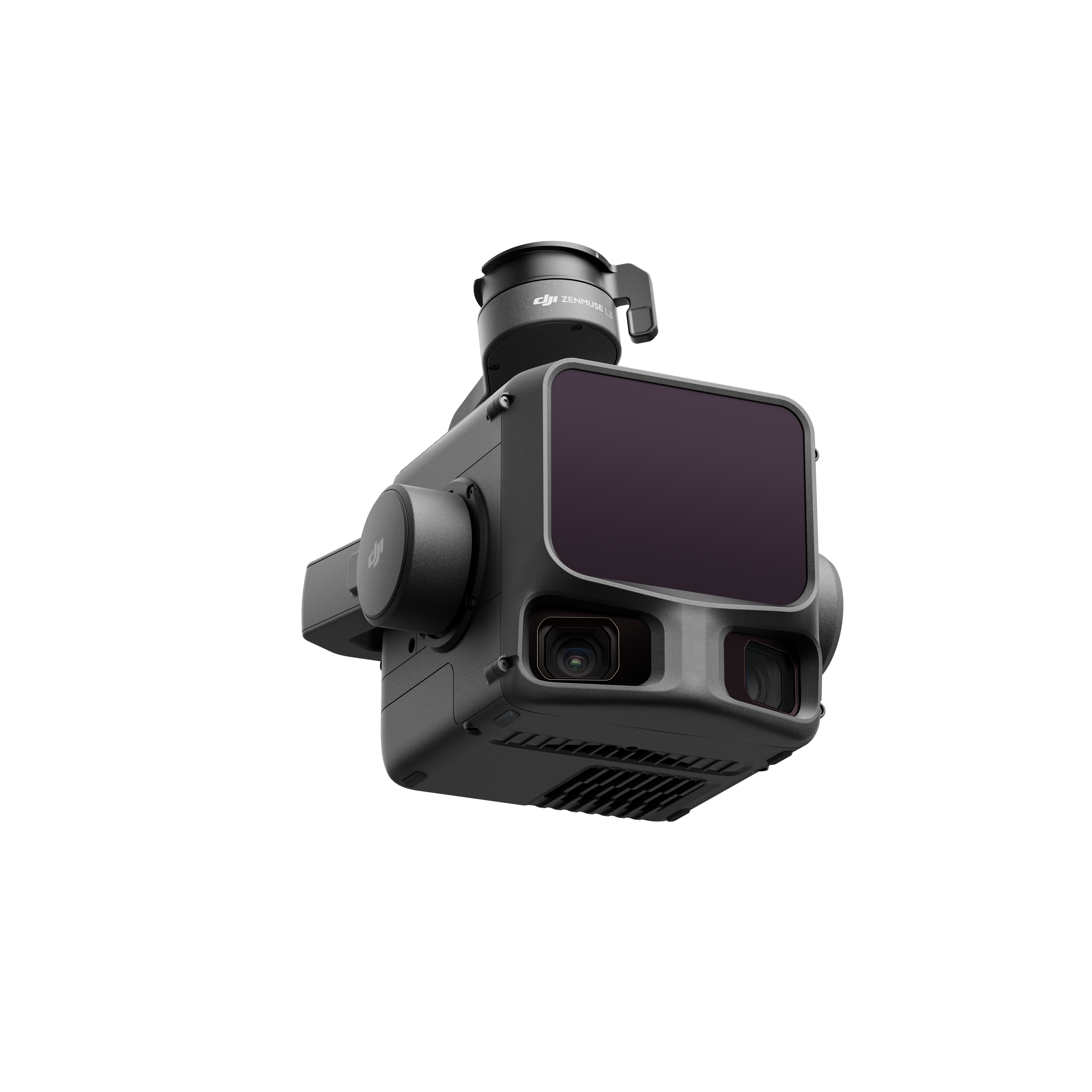
Hochpräzises LiDAR‑System für professionelle Luftvermessung und 3D‑Mapping
€12.399,16zzgl. MwSt.€14.755,00inkl. MwSt.
Preis von: BSS B2B
€12.399,16
Zuverlässige Datenerfassung auch bei schwierigen Lichtverhältnissen
Nahtlose Integration in DJI Terra für effiziente Auswertung
Hochpräzise Erfassung von Gelände, Objekten und Strukturen
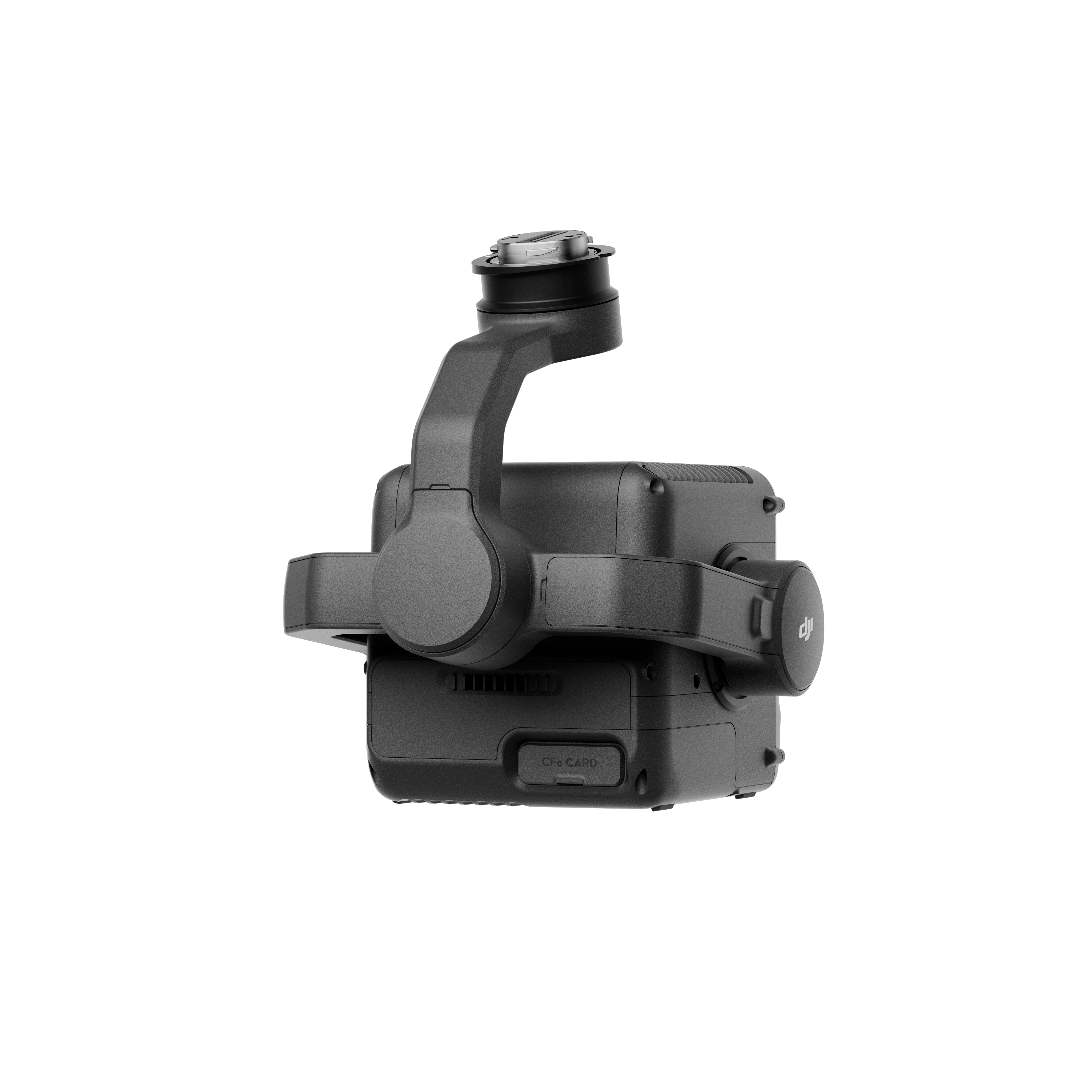
The DJI Zenmuse L3 LiDAR System is a high-performance aerial surveying system designed for professional drone applications. It enables high-precision mapping of objects, terrain, and structures—even in complex environments and under challenging lighting conditions. The combination of advanced LiDAR technology and RGB data delivers detailed point clouds and precise 3D models. With its high point density, long range, and wide field of view, the system is ideal for demanding mapping and inspection tasks. Thanks to seamless integration with DJI Terra and immediate readiness for use, the Zenmuse L3 enables efficient workflows with minimal effort.
Hersteller:
DJI GmbH
Industriestrasse 12
97618 Niederlauer
Deutschland
support.eu@dji.com
SZ DJI Technology Co.,Ltd
Lobby of T2, DJI Sky City, No. 53 Xianyuan Road, Xili Community, Xili Street, Nanshan District
518057 Shenzhen
China
support@dji.com
Zwischenhändler:
Globe Flight GmbH
Borsigstrasse 7
93092 Barbing
Deutschland
info@globe-flight.de
Produkteigenschaften
Item No. / GTIN
10437 | 6937224133778
1.60 kg
Weight
3.50 kg
Shipping Weight
192 x 162 x 202 mm
Dimensions
IP54
Protection Class
DJI Zenmuse L3 LiDAR System
€12.399,16zzgl. MwSt.€14.755,00inkl. MwSt.
Preis von: BSS B2B
€12.399,16
Support von Droniq
Willkommen in unserer Hilfeübersicht. Wir haben die wichtigsten Themen für Sie übersichtlich zusammengefasst:
Versandinformationen
Kostenloser Versand ab 2.700 € innerhalb Deutschlands. Ausgenommen Gefahrgut- & Speditions-Versand.
Kundensupport
Sie erreichen unseren Customer Service über unser Kontaktformular.
FAQ’s
Antworten auf alle wichtigen Fragen finden Sie hier – schnell & klar.
Kontakt zu uns
Ihr Bereich für Bestellungen und individuelle Konditionen.
Einsatzzweck
Das Zenmuse L3 LiDAR System wird für professionelle Anwendungen in Vermessung, Inspektion und Dokumentation eingesetzt. Typische Anwendungsbereiche sind großflächige Kartierung und digitale Zwillinge, die Analyse von Bahnstrecken und Dämmen, forstwirtschaftliche Untersuchungen, archäologische und geologische Analysen sowie die Notfallkartierung und Einsatzplanung
Lieferumfang
1x Zenmuse L3
1x Zenmuse L3 Einzelner Gimbal-Anschluss
1x Aufbewahrungskoffer
4x Gimbal-Dämpfer
2x CFexpress Typ B Speicherkarte
1x CFexpress Typ B Kartenlesegerät
1x DJI Matrice 400 Koffer-Einsatz (Zenmuse L3)
1x Objektiv-Reinigungstuch
Schrauben und Werkzeuge
inkl. 12 Monate DJI Care Enterprise Plus
Technische Daten & Informationen
System Specifications
System Specifications
DJI Zenmuse L3
Point Cloud System Accuracy
At a flight altitude of 120 m: Vertical accuracy: 3 cm (RMSE) Horizontal accuracy: 4 cm (RMSE)
At a flight altitude of 300 m: Vertical accuracy: 5 cm (RMSE) Horizontal accuracy: 7.5 cm (RMSE)
Measured under the following conditions in a DJI laboratory environment: 1. The scene contained objects with clearly discernible edges or distinct angles. The DJI Matrice 400 was connected to a position-calibrated D-RTK 3 multifunction station. The flight path was created using the Area Route feature in DJI Pilot 2 (with IMU calibration enabled) and linear scan mode. The flight speed was set to 15 m/s and the gimbal tilt to -90°, and each straight segment of the flight path was shorter than 3,300 m. 2. Exposed, solid ground surfaces that conformed to the diffuse reflection model were used as checkpoints. 3. DJI Terra was used for post-processing, with the “Optimize Point Cloud Accuracy” feature enabled.
Point Cloud Thickness
1.2 cm at 1σ (120 m flight altitude) 2 cm at 1σ (300 m flight altitude)
Measured in linear scan mode, using checkpoints on objects with 80% reflectivity, without point cloud optimization or downsampling enabled in DJI Terra. For a 6σ deviation, multiply the specified thickness by 6.
Combined horizontal field of view (two RGB mapping cameras)
107°
Created by merging images from two cameras whose optical axes form a 45° angle with each other.
RGB ground resolution (GSD)
Average: 3 cm (300 m flight altitude)
Detailed calculation methods can be found in the user manual in the download section of the official DJI Zenmuse L3 website.
Weight
1.60 kg (without single-gimbal mount)
The Zenmuse L3 single-gimbal mount weighs 145 g.
1.60 kg (excluding single gimbal mount)
The Zenmuse L3 single gimbal mount weighs 145 g.
192 × 162 × 202 mm (L × W × H)
Measured in the default stabilized state after power-on, with a non-orthogonal gimbal design.
192 × 162 × 202 mm (L × W × H)
Measured in the default stabilized state after power-on, with a non-orthogonal gimbal design.
64 W (typical) 100 W (max)
Compatible drones
DJI Matrice 400 (requires the Zenmuse L3 single-gimbal mount)
Protection rating
IP54
Operating temperature
-20 °C to 50 °C
Storage temperature
Storage temperature
LiDAR
LiDAR
DJI Zenmuse L3
Laser wavelength
1535 nm
Laser beam divergence
0.25 mrad (1/e²)
Laser spot size
Φ 41 mm at 120 m (1/e²) Φ 86 mm at 300 m (1/e²)
Detection range
700 m at 10% reflectivity, 350 kHz 950 m at 10% reflectivity, 100 kHz 2,000 m at 80% reflectivity, 100 kHz
1. Definition of range: The distance at which 50% of the emitted laser pulses are detected. If a laser beam strikes multiple objects, the total power of the laser transmitter is divided among them, thereby reducing the achievable range. 2. Test conditions: 100 klx ambient brightness, in the central area of the field of view, with a flat object larger than the diameter of the laser beam, at a perpendicular angle of incidence, and with an atmospheric visibility of 23 km. 3. The maximum detection range is 900 m by default. For a longer range, please contact DJI Support or an authorized dealer.
Detection Range for Power Lines
21.6 mm aluminum-steel-core stranded wire: 300 m at 100 klx, 350 kHz 18.4 mm black, PVC-insulated wire: 100 m at 100 klx, 350 kHz
1. Definition of range: The distance at which a fully scanned section of a power line achieves a point density of 4 points per meter. 2. Test conditions: 100 klx ambient brightness, 23 km atmospheric visibility, LiDAR center looking vertically at the line, non-repetitive scan mode, drone flying at 15 m/s along the line, and the line is clean and undamaged.
Distance Accuracy
Absolute accuracy: ±10 mm Repeatability: < 5 mm (1σ)
The specifications listed above can be achieved under test conditions of 25 °C ambient temperature, 350 kHz pulse frequency, 80% object reflectivity, and at distances of 120 m and 300 m. Actual conditions may differ from those in the test environment. The results provided are for reference only.
Minimum effective detection distance
10 m
Laser pulse frequency
100 kHz, recommended flight altitude < 500 m 350 kHz, recommended flight altitude < 300 m 1000 kHz, recommended flight altitude < 100 m 2000 kHz, recommended flight altitude < 50 m
Horizontal accuracy: 1.0 cm + 1 ppm (RTK fix) Vertical accuracy: 1.5 cm + 1 ppm (RTK fix)
Supported PPK differential data formats
DAT: Generated in base station mode using the D-RTK 3 multifunction station and the D-RTK 2 RINEX: v2.1x, v3.0x RTCM: v3.0, v3.1, v3.2, v3.3 (protocols: MSM3, MSM4, MSM5, MSM6, MSM7) OEM: OEM4, OEM6
When using the system, ensure that the distance between the multifunction station and the aircraft does not exceed 15 km and that the multifunction station supports satellite tracking with more than two GNSS constellations.
Gimbal
Gimbal
DJI Zenmuse L3
Degrees of freedom
3 axes (pitch, roll, yaw)
Angular accuracy
± 0.01°
Mechanical End-of-Travel Range
Pitch: -135° to +73° Roll: -90° to +60° Yaw: -105° to +105°
Structural limit, not the controllable rotation range.
Controllable rotation range
Pitch: -120° to +60° Yaw: -80° to +80°
The roll angle is not controllable but serves only for stabilization.
Self-Test Method
Roll axis: Self-check not required Yaw axis: Check using end stop Pitch axis: Self-check not required